Track your construction project's evolution with precision aerial documentation and real-time progress updates
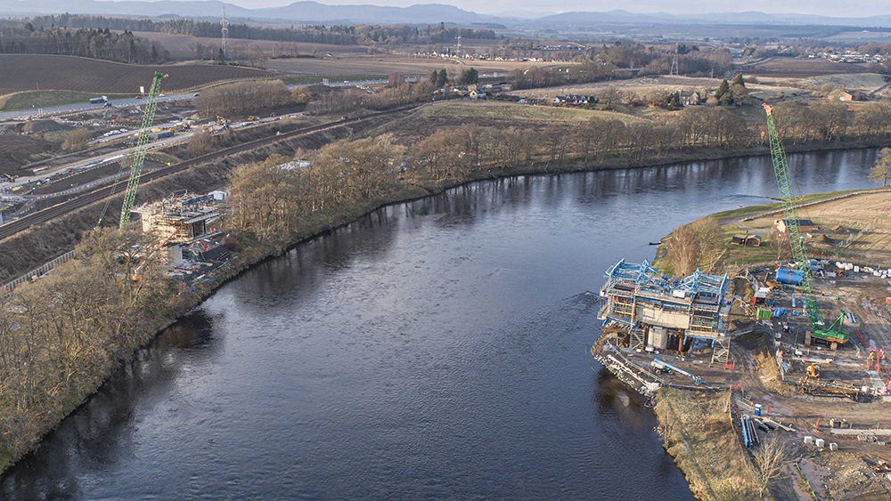
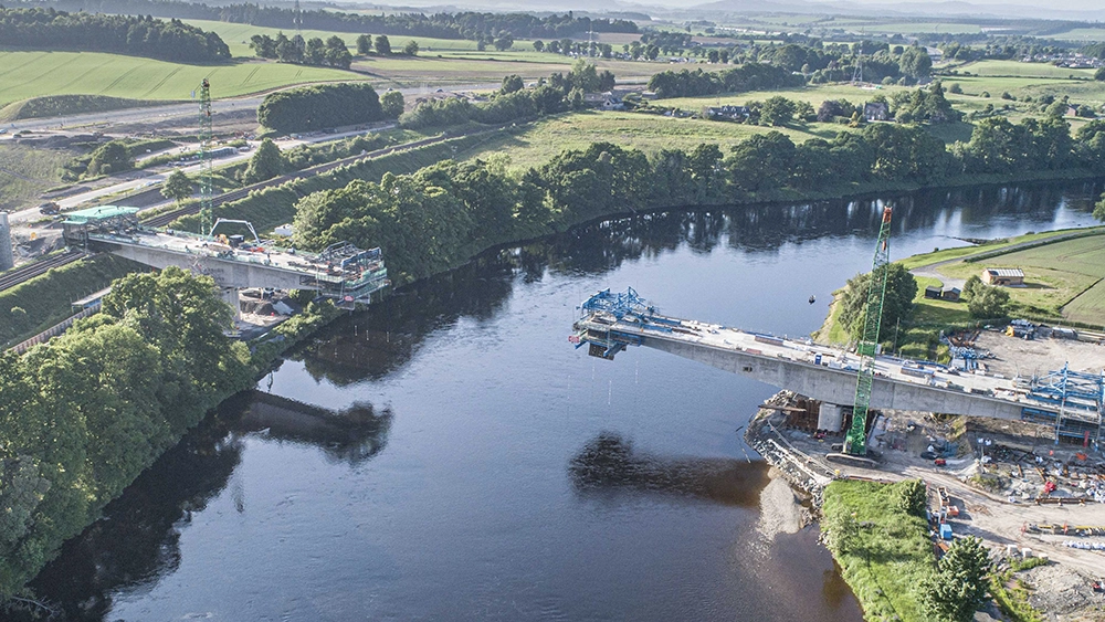
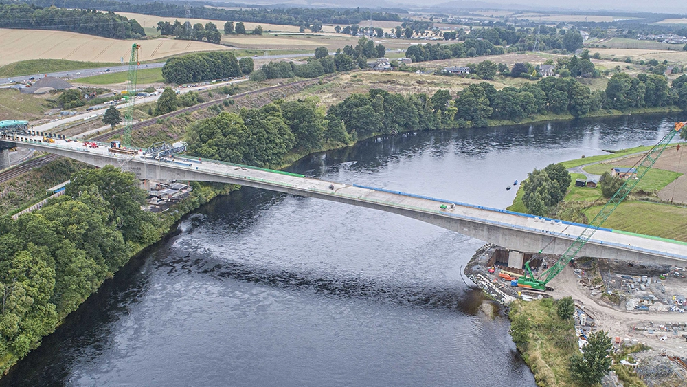
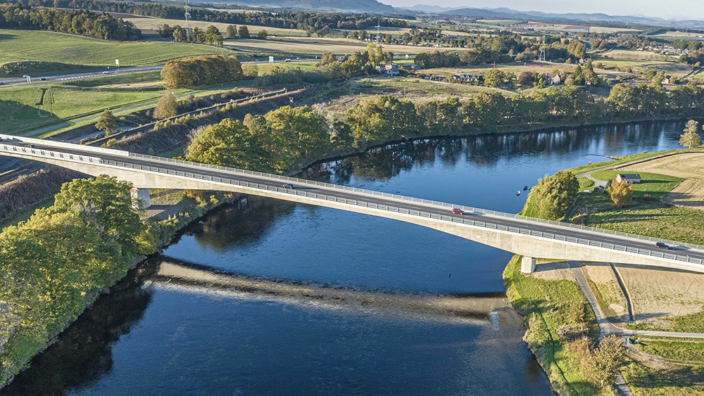
Our Progress Monitoring service provides construction managers, contractors, and stakeholders with unprecedented visibility into project development. Our certified drone pilots capture high-resolution aerial imagery and video at scheduled intervals, creating a complete visual record of your construction journey.
Weekly, bi-weekly, or monthly aerial captures tailored to your project timeline and requirements.
High-resolution 4K aerial photography and cinematic video footage capturing every angle of your construction site.
Detailed reports highlighting key milestones, comparing progress against timelines, and identifying potential issues.
Our custom-built Media Viewer platform provides instant access to all your site progress data. View high-resolution photos, interactive 3D models, and 360° imagery - all organized by date and location.
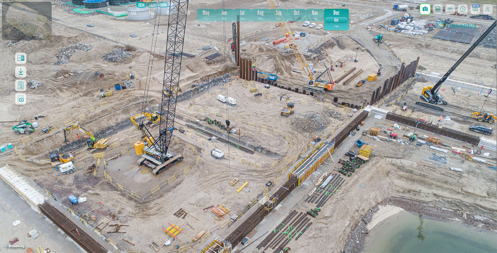
The Media Viewer is our proprietary web platform that brings all your site progress data together in one intuitive interface. Click "Launch Live Demo" to explore:
Keep all stakeholders informed with clear visual updates, reducing site visits and improving communication.
Identify potential issues early with comprehensive aerial views that ground-level inspections might miss.
Reduce time spent on manual progress documentation and site meetings with readily available aerial records.
Compare progress against plans and timelines to make informed decisions about resource allocation.
We discuss your project requirements, timeline, and specific areas of focus for progress documentation.
Our team creates a customized flight plan ensuring consistent capture angles and comprehensive site coverage.
Certified pilots visit your site at agreed intervals to capture high-quality aerial imagery and video.
Images and videos are processed, organized, and uploaded to your secure cloud portal within 48 hours.
Regular check-ins ensure the service continues to meet your evolving project needs.
Get professional aerial progress monitoring that keeps your entire team informed and aligned
Get Your Free Quote View Our Work