Transform your construction site into interactive 3D models and digital twins for precise planning, analysis, and stakeholder visualization
Our 3D Modeling service transforms aerial drone imagery into highly accurate, interactive 3D models and digital twins of your construction site. Using advanced photogrammetry processing, we create photorealistic models that provide precise measurements, volumetric calculations, and immersive visualization - enabling better planning, analysis, and stakeholder communication.
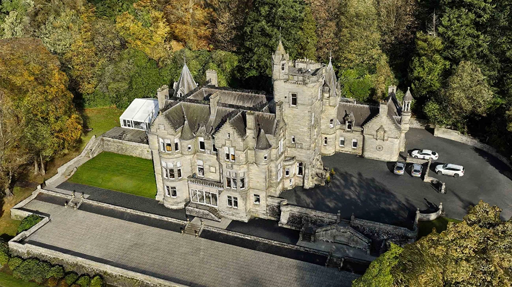
High-detail 3D reconstructions created from hundreds of aerial images, providing true-to-life visualization of your entire construction site.
Precise volumetric calculations, distance measurements, and area quantification directly from the 3D model - accurate to centimeter-level precision.
Create living digital replicas of your site that can be updated over time, enabling before/after comparisons and progress tracking.
Access your 3D models through our cloud-based Media Viewer platform. Navigate, measure, and annotate directly in your browser - no special software required.
This interactive 3D model was created from aerial drone imagery. Use your mouse or touch to rotate, zoom, and explore the model from any angle. This example shows a roof inspection, demonstrating the level of detail achievable:
Enable stakeholders to explore your site virtually with immersive 3D models, improving understanding and reducing site visits.
Calculate precise volumes, areas, and distances for earthworks, stockpiles, and site features without manual surveying.
Compare as-built conditions against BIM models and design plans to verify construction accuracy and identify discrepancies.
Build a library of 3D models over time to visualize project evolution and create compelling progress documentation.
We discuss your project goals, required accuracy levels, and specific deliverables to design the optimal data capture strategy.
Our certified pilots fly automated missions capturing hundreds of overlapping high-resolution images of your site from multiple angles.
Advanced photogrammetry software processes the imagery to create highly detailed, georeferenced 3D models with centimeter-level accuracy.
Our team validates the model accuracy, performs quality checks, and extracts required measurements and deliverables.
Access your interactive 3D model through our Media Viewer platform, with options to download industry-standard file formats (OBJ, LAS, GeoTIFF).
Transform your construction site into precise, interactive 3D models that enhance planning, measurement, and collaboration
Get Your Free Quote View Our Work